
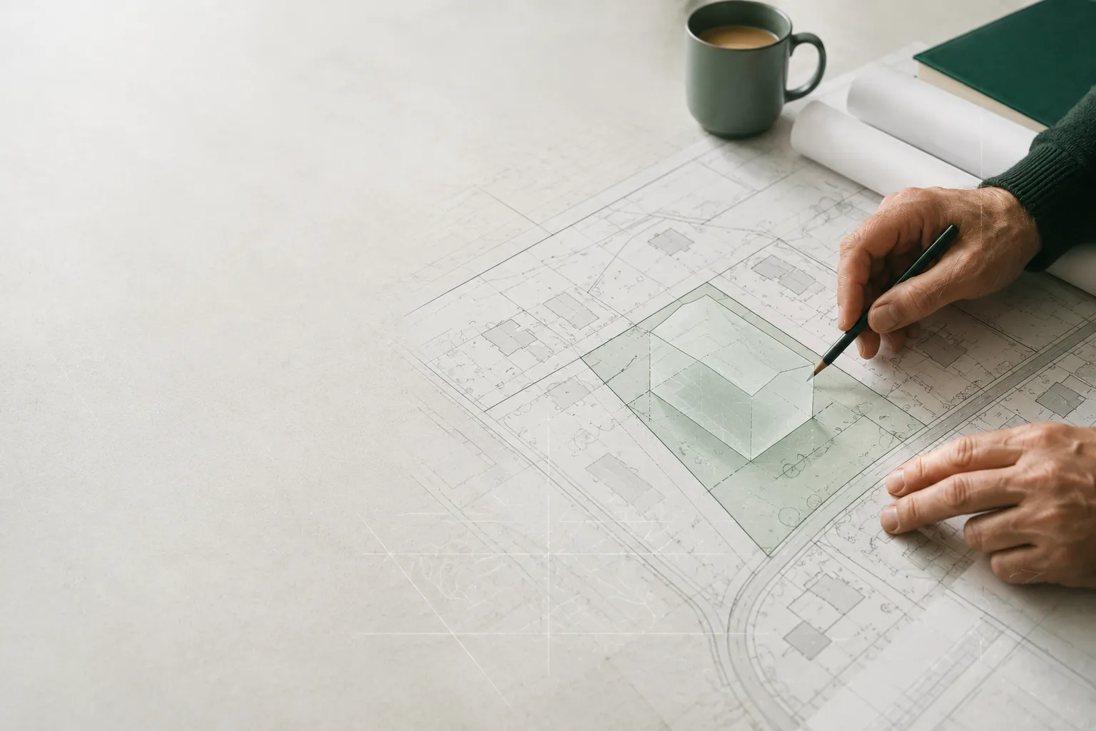
You want to extend your house, add a storey, subdivide your land or build from scratch. The first question is not "is it possible?" but "what does my plot actually allow?". A plot is never an open canvas: it is framed by a cascade of rules, both municipal and cantonal, that stack up and define its building rights (development potential). Understanding them in the right order saves you months of wasted feasibility work on an out-of-bounds project.
Short answer
Building potential does not come from one number. It is the intersection of zoning, the utilisation index, building envelope, setbacks, RDPPF restrictions and private rights. A plot can therefore lie in a building zone and still not allow the intended project. A reliable method first establishes a theoretical ceiling, then removes what the other rules make impossible.
| Data | What it can establish | What it cannot prove on its own |
|---|---|---|
| Land-use zone | Permitted use and basic buildability | Floor area or volume that can actually be delivered |
| IUS, CUS or IBUS | Theoretical floor-area ceiling | Building form and local floor-area definition |
| Height, footprint and setbacks | Available geometric envelope | Compliance with every restriction |
| RDPPF/OEREB extract | Known enforceable public-law restrictions | Private easements and a future municipal decision |
| RegBL and existing building | Existing floor area to deduct or transform | Structural capacity or acquired rights |
A cautious worked example
An 800 m² plot with a 0.50 utilisation index gives an indicative ceiling of 400 m² of counted floor area. If the existing building already uses 260 m², the arithmetic reserve is 140 m². That reserve is not yet a building right: height, setbacks, an RDPPF building line, heritage protection and the municipal floor-area definition may reduce it. See the detailed guide to IUS, CUS and IBUS.
Go further: calculate building rights, read an RDPPF extract, check a plot before buying and assess an added storey.
The cascade of rules
Four layers determine what you can build, and they apply one after the other. You have to check them all before drawing anything.
The zoning designation
Is your plot zoned for building, and for which use (residential, mixed, commercial)?
The utilisation index
How much floor area can you build on this plot?
The building envelope
What height, how many storeys, and at what distance from the boundaries?
Public-law restrictions (RDPPF)
What can override your calculations — building lines, hazards, protections?
1. Zoning: the starting point
It all starts with the municipal land-use plan (also called the zoning plan). It classifies each plot into a zone: residential building zone, mixed zone, commercial/industrial zone, agricultural zone, conservation zone (as a rule non-buildable), and so on. The municipal building regulations attached to that plan set out what each zone allows. A special land-use plan (neighbourhood or quarter plan — PQ, PAD, PPA, PLQ depending on the canton) can supplement or derogate from the zone's rules.
If your plot lies outside the building zone, most new construction is ruled out: only buildings that comply with the agricultural designation (art. 16a SPA / LAT) or that qualify for an exemption (art. 24 ff. SPA / LAT, notably the conversion of existing buildings) remain conceivable. Inside the building zone, by contrast, the zone specifies the permitted use (housing, commerce, light industry) and the possible densities. This is filter no. 1: there is no point calculating floor areas if the zone already prohibits the intended use.
2. The utilisation index: how much floor area you can build
Once the zone is known, it is the index that caps the amount of buildable floor area. Depending on the canton and the municipality, you will come across different labels for closely related concepts: plot ratio / utilisation index (IUS), floor area ratio (FAR / CUS) or IBUS (the gross floor area ratio defined by the intercantonal harmonisation of construction terms, IVHB). Beware: these indices cannot be compared figure for figure. Our dedicated guide to the IUS, CUS and IBUS indices covers the calculation in detail.
In concrete terms, a utilisation index of 0.5 on an 800 m² plot allows roughly 400 m² of floor area (depending on the definition in the regulations).
3. The building envelope: height, storeys and boundary setbacks
The index tells you how much; the building envelope tells you how. The regulations set the maximum height (to the eaves, to the ridge, or as a number of storeys), often the ground coverage (site coverage ratio), and above all the boundary setbacks: the minimum distance to be kept from neighbouring plots and from public land.
These setbacks determine the envelope that can actually be built within your land — often much smaller than the plot itself. A large plot with large boundary setbacks can offer less buildable area than a smaller plot with modest setbacks. This is what turns a theoretical index into a concrete volume.
4. Public-law restrictions: what can override your calculations
The RDPPF cadastre (the cadastre of public-law restrictions on landownership, the PLR cadastre — known as OEREB in German) does not create rules: it records the public-law restrictions that are already enforceable — based on a law or a plan in force — which can wipe out a theoretical potential: building lines, special plans, protection perimeters, hazard zones, setbacks from forests and watercourses, noise sensitivity levels, and so on.
A single one of these restrictions can render an entire strip of the plot non-buildable, impose a setback, or make the permit conditional — their effect varies (prohibition, condition, or mere information). The RDPPF extract is free and official: it is the first document to consult. To learn how to decode it, see our guide to reading an RDPPF extract.
5. Heritage, noise and other reservations
Beyond the RDPPF, other layers can be added: the listing of a building or a site in an inventory (ISOS, cantonal surveys), heritage protection, energy requirements, or parking requirements. They do not always block a project, but they change its cost and timeline — and they must be anticipated, not discovered when the permit is filed.
Where to check, in practice
Each layer has its own official source. Here is where to start:
| What you are looking for | Official source |
|---|---|
| Zone and permitted use | Land-use plan + municipal building regulations |
| Index and building envelope | Municipal regulations applicable to the zone |
| Enforceable restrictions | RDPPF (OEREB) cadastre extract |
| The existing built fabric to deduct (buildings, dwellings) | Federal Register of Buildings and Dwellings (RegBL) |
| Heritage and sites | Federal inventories (ISOS) and cantonal surveys |
These sources are public, but scattered, written in different technical languages, and sometimes seemingly contradictory. Cross-referencing them correctly is precisely what separates a hunch from a reliable reading.
From theory to your plot
Reading these rules in the abstract is useful; applying them to your address is more so. Parcellis identifies your plot, reads the official sources at their origin — RDPPF, land-use plan, regulations, RegBL — and clearly distinguishes what is confirmed from what remains to be verified. In a few minutes you get a sourced reading of what your plot allows, rather than an estimate.